The Trail Behind Shoal Creek Is Finally Clear Again. Fixing It Took Ten Months for a Reason That Has Nothing to Do With Concrete.
August 20, 2026
August 20, 2026
If you assumed the closures at Arbor Hills were about repairing a bridge, you'd only be half right. The other half of the story is eleven months of plants growing into a streambed that didn't exist a year ago, which is a stranger and slower kind of infrastructure project than most residents expect from a parks department.
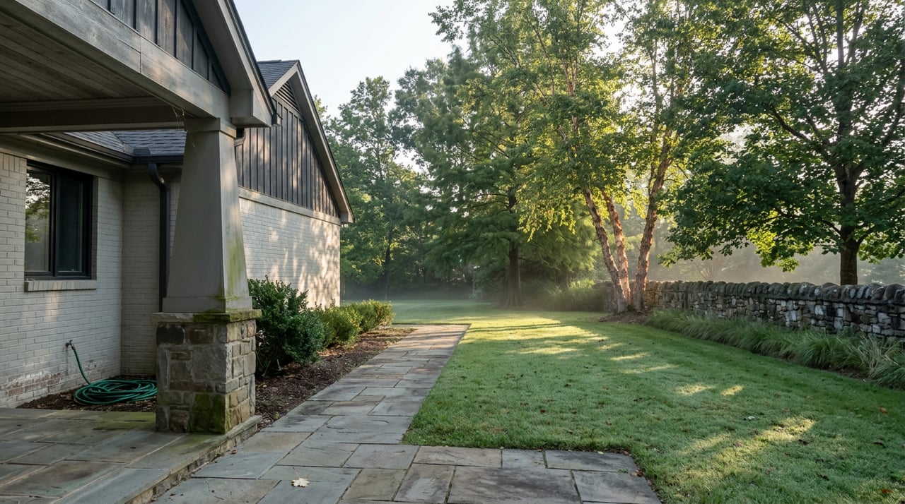
Arbor Hills Nature Preserve sits just south of Shoal Creek, close enough that plenty of neighborhood dog walks and early runs default to its trail loop without a second thought. For much of the past year, that default got complicated. Here's what actually happened, and why the timeline looked the way it did.
Plano City Council approved a $1.2 million erosion rehabilitation contract for two specific spots inside Arbor Hills at its August 11, 2025 meeting. The work targeted the northeastern pedestrian bridge on the park's main trail loop and the area behind the main entrance pavilions, both of which had been dealing with ongoing erosion damage. The contract went to Austin Filter Systems, funded through the city's 2024-25 municipal drainage community investment program.
The hard surface loop trail reopened to the public on June 2, 2026. The remaining piece, a trail near the playground and its adjacent parking area, reopened after the full project wrapped on June 26, 2026. Add it up and you get roughly ten months between council approval and a fully reopened park, for work confined to two relatively small sections of a 200-acre preserve. That gap is the part worth understanding, because it wasn't a scheduling delay. It was the actual shape of the fix.
Erosion control at Arbor Hills didn't mean pouring new concrete over eroded ground. The city's parks department describes the approach as "nature-based stream restoration techniques," and the specifics back that up: vegetated rock rip rap, soil-filled geobags, and soil lifts were used to rebuild the eroded banks near the bridge and pavilions, alongside a new French drain system and water bars designed to slow and redirect runoff heading downhill from the pavilion area.
A separate piece of the project involved the North Texas Municipal Water District funding repair of a gabion structure that protects a sewer manhole damaged by erosion and tree debris. None of this is cosmetic work. It's closer to small-scale civil engineering aimed at a stream that had been quietly undercutting its own banks for years, which explains why a bridge repair and a pavilion-area fix took the better part of a year rather than a few weekends.
If you walk the loop this month and notice sections still cordoned off with fencing around new plantings, that's expected, not a leftover problem. The contractor is continuing to water and maintain the new vegetation near the project area through February 2027, and the parks department has said the plants may stay fenced so they can establish without foot traffic disturbing the roots.
That timeline matters if you're planning a specific route. The trail itself is open and has been since early June, but full ecological recovery of the restored banks runs another six months past that reopening date. Plants that stabilize a streambed need at least one full growing cycle before they can handle regular use, and the fencing is the visible evidence of that cycle still running.
None of the erosion work touched the broader footprint of Arbor Hills, which remains a 200-acre preserve on the western edge of Plano with three miles of paved trail, another three miles of unpaved trail, and a separate 2.8-mile off-road bike trail. The preserve spans three distinct regions, Blackland Prairie, Riparian Forest, and Upland Forest, and includes a pond named for Vasil Levski along with an observation tower, a covered pavilion available by reservation, and a playground near the reopened parking area.
One detail worth building into your weekly routine: the park closes every Wednesday from 5 a.m. to 2 p.m. for scheduled city maintenance, so a Wednesday morning run is the one day this loop won't be available regardless of the erosion work's status.
For anyone in Shoal Creek looking to extend a walk past the preserve's boundary, the city's Bluebonnet Trail runs from Central Expressway to Midway Road along an Oncor power line easement, tracking Spring Creek Parkway and Chase Oaks Boulevard before intersecting the Chisholm Trail in central Plano and connecting to the Preston Ridge Trail at Carpenter Park. It's the kind of connective tissue that turns a single nature preserve into a genuine network, and it runs close enough to Shoal Creek's own streets that a longer loop is realistic without ever getting in a car.
The bridge and pavilion sections of Arbor Hills are open again after roughly ten months of stream restoration rather than simple repair work. The remaining fenced areas around new plantings aren't a sign the job is unfinished. They're the job still finishing, on a schedule that runs through next February. Everything else at the preserve, the loop mileage, the bike trail, the pond, the Wednesday closure window, is exactly as it was before construction started.
If you're weighing what a home near this kind of trail access is actually worth, or thinking through a move within Shoal Creek or elsewhere in North Dallas, Kathy Beck and the Beck Residential Group bring the same habit of tracking the details that matter before you decide. Let's Connect when you're ready to talk it through.
Stay up to date on the latest real estate trends.

Kathy Beck takes a thoughtful, strategic approach to every client relationship, helping you navigate life's transitions with confidence. Whether you're downsizing, relocating, managing an inherited property, preparing for retirement, or embracing a lifestyle change, you'll receive personalized guidance, expert market insight, and a plan designed around your unique goals.

KATHY BECK
ADDRESS
Keller Williams Realty Dallas Preston Road
18333 Preston Rd, Suite 100
Dallas TX, 75252